Every layer
46 live map layers in one app: aircraft, GPS jamming, fires, earthquakes, weather, oceans, satellite imagery and the ground itself. What each shows and where its data comes from.
live · things that move
-
 Aircraft
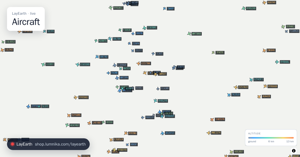
Live aircraft positions over the view, each one dead-reckoned between updates and coloured by altitude.
Aircraft
Live aircraft positions over the view, each one dead-reckoned between updates and coloured by altitude. -
 Earthquakes
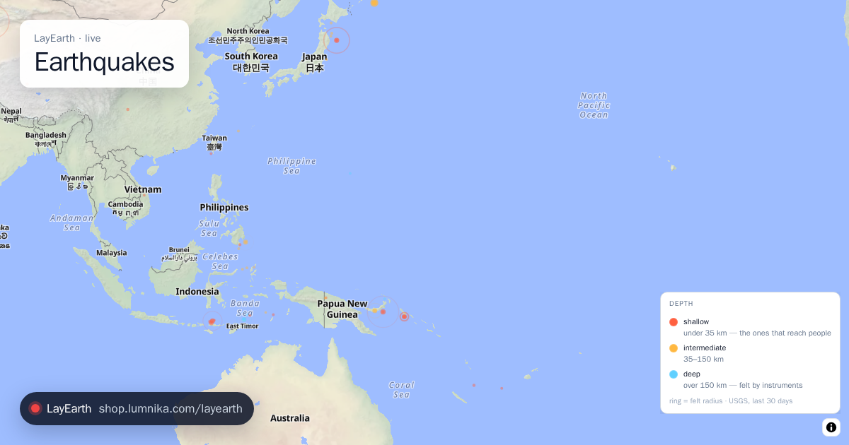
Every earthquake of magnitude 2.5 or more recorded worldwide in the last 30 days.
Earthquakes
Every earthquake of magnitude 2.5 or more recorded worldwide in the last 30 days. -
 Cheap flights
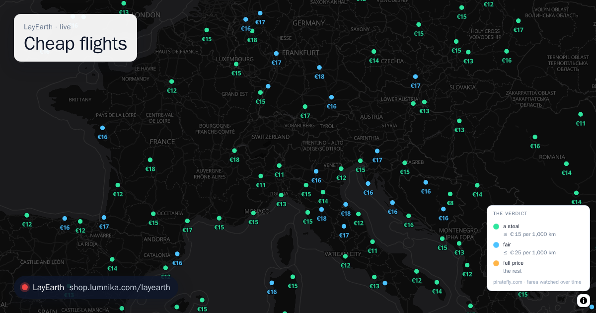
The lowest fare Piratefly.com is watching to each destination, written as a price on the map.
Cheap flights
The lowest fare Piratefly.com is watching to each destination, written as a price on the map. -
 Active fires
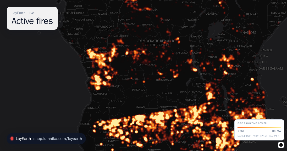
Every active fire detected from orbit in the last 24 hours.
Active fires
Every active fire detected from orbit in the last 24 hours. -
 Lightning
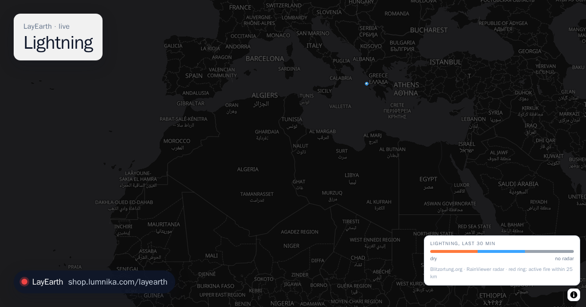
Every lightning strike on Earth in the last half hour, as the community network hears it, each ~11 km cell marked dry or wet from the latest weather radar frame.
Lightning
Every lightning strike on Earth in the last half hour, as the community network hears it, each ~11 km cell marked dry or wet from the latest weather radar frame. -
 Natural events
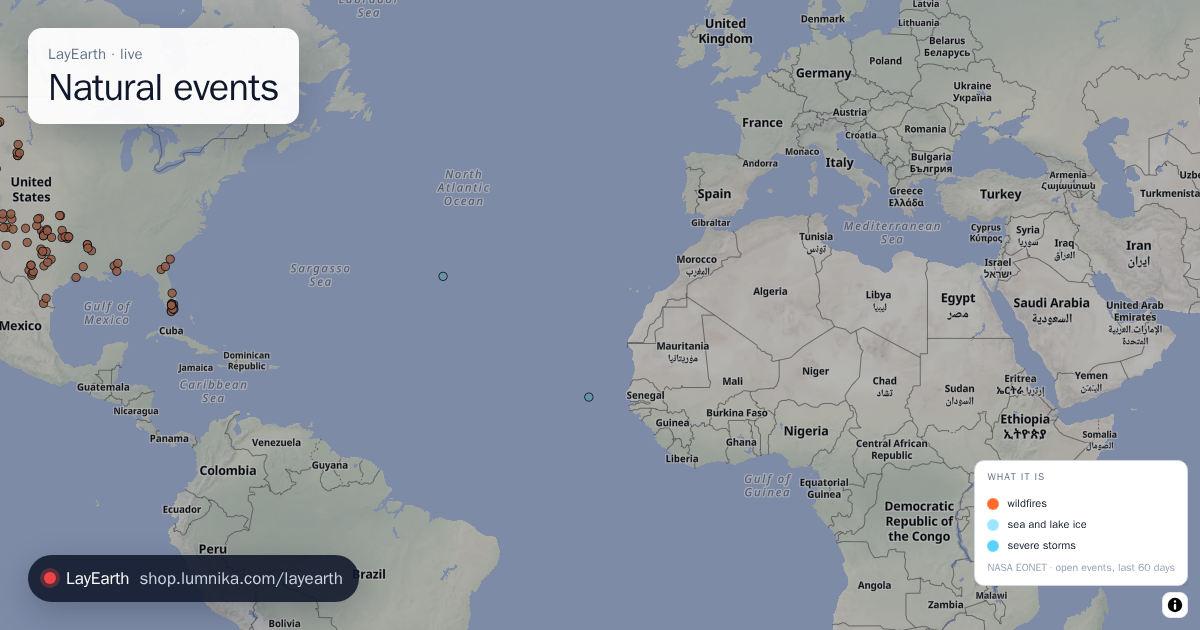
 currently open in NASA's curated index: wildfires, volcanoes, severe storms, sea and lake ice and more.
Natural events
Natural events currently open in NASA's curated index: wildfires, volcanoes, severe storms, sea and lake ice and more. -
 The station
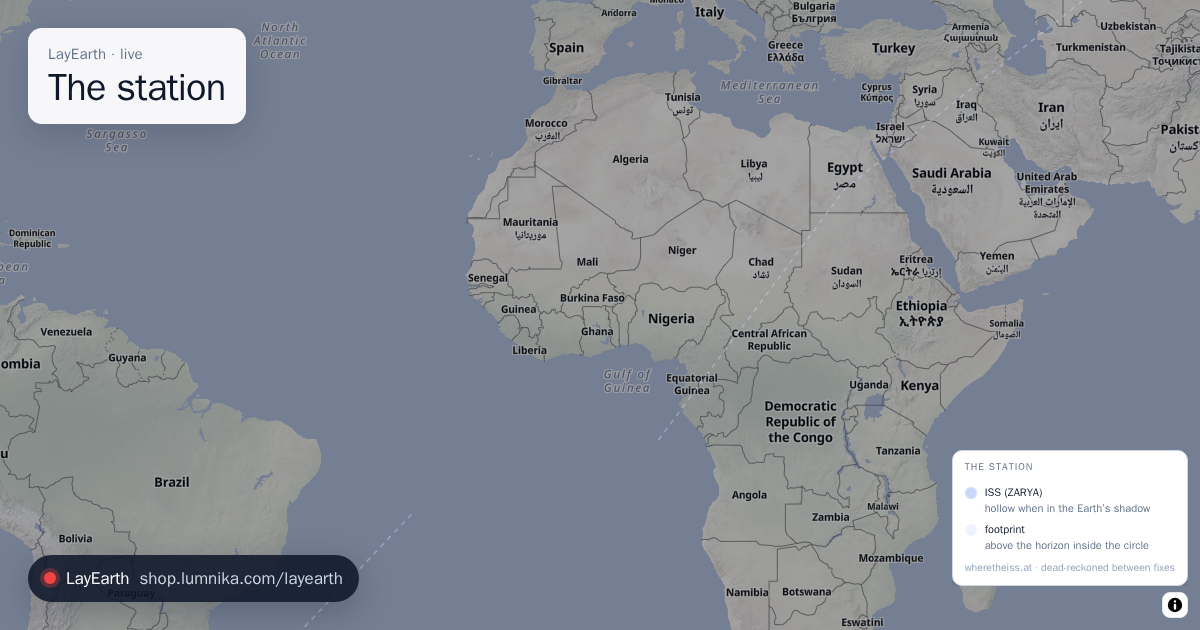
Where the International Space Station is now, where it is heading, and the area of Earth that can see it.
The station
Where the International Space Station is now, where it is heading, and the area of Earth that can see it. -
 Airport weather
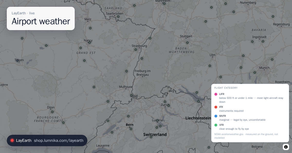
Measured weather at airports, from the METAR reports their instruments send.
Airport weather
Measured weather at airports, from the METAR reports their instruments send.
air · measured from aircraft
-
 GPS interference Pro
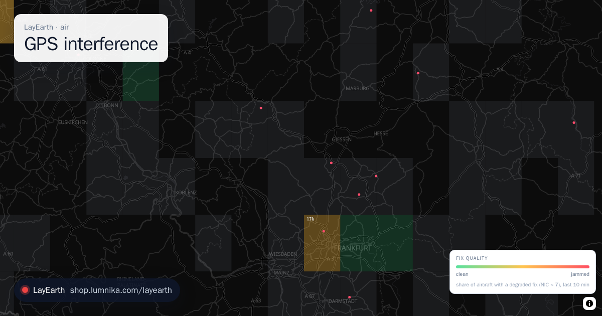
Where GPS is being jammed or spoofed, measured by the aircraft flying through the area.
GPS interference Pro
Where GPS is being jammed or spoofed, measured by the aircraft flying through the area. -
 Winds aloft Pro
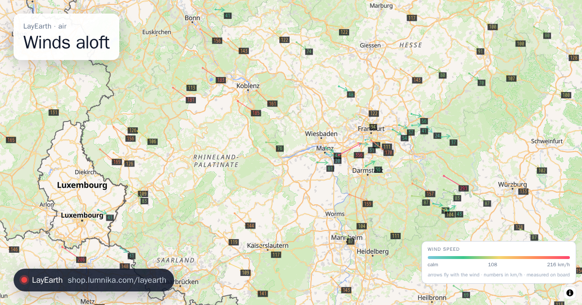
Wind at cruising altitude as measured on board by aircraft in flight.
Winds aloft Pro
Wind at cruising altitude as measured on board by aircraft in flight. -
 Turbulence & icing Pro
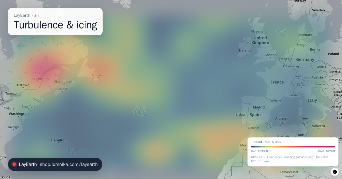
Clear-air turbulence at cruise and airframe icing lower down, from the NOAA GFS model.
Turbulence & icing Pro
Clear-air turbulence at cruise and airframe icing lower down, from the NOAA GFS model. -
 SIGMET & AIRMET Pro
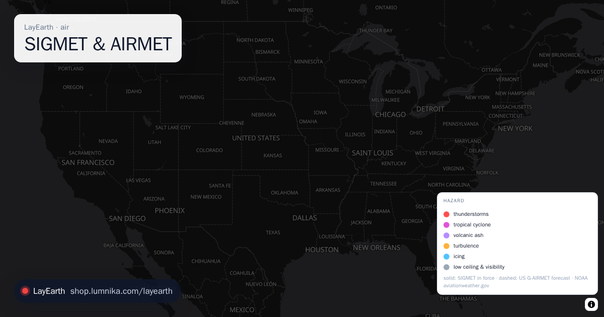
The aviation weather warnings in force right now, as polygons: every SIGMET issued in the world (thunderstorms, severe turbulence, severe icing, mountain waves, volcanic ash, tropical cyclones) and, over the United States, the G-AIRMET forecast of moderate turbulence, icing, low ceilings and obscured mountains.
SIGMET & AIRMET Pro
The aviation weather warnings in force right now, as polygons: every SIGMET issued in the world (thunderstorms, severe turbulence, severe icing, mountain waves, volcanic ash, tropical cyclones) and, over the United States, the G-AIRMET forecast of moderate turbulence, icing, low ceilings and obscured mountains. -
 PIREP Pro
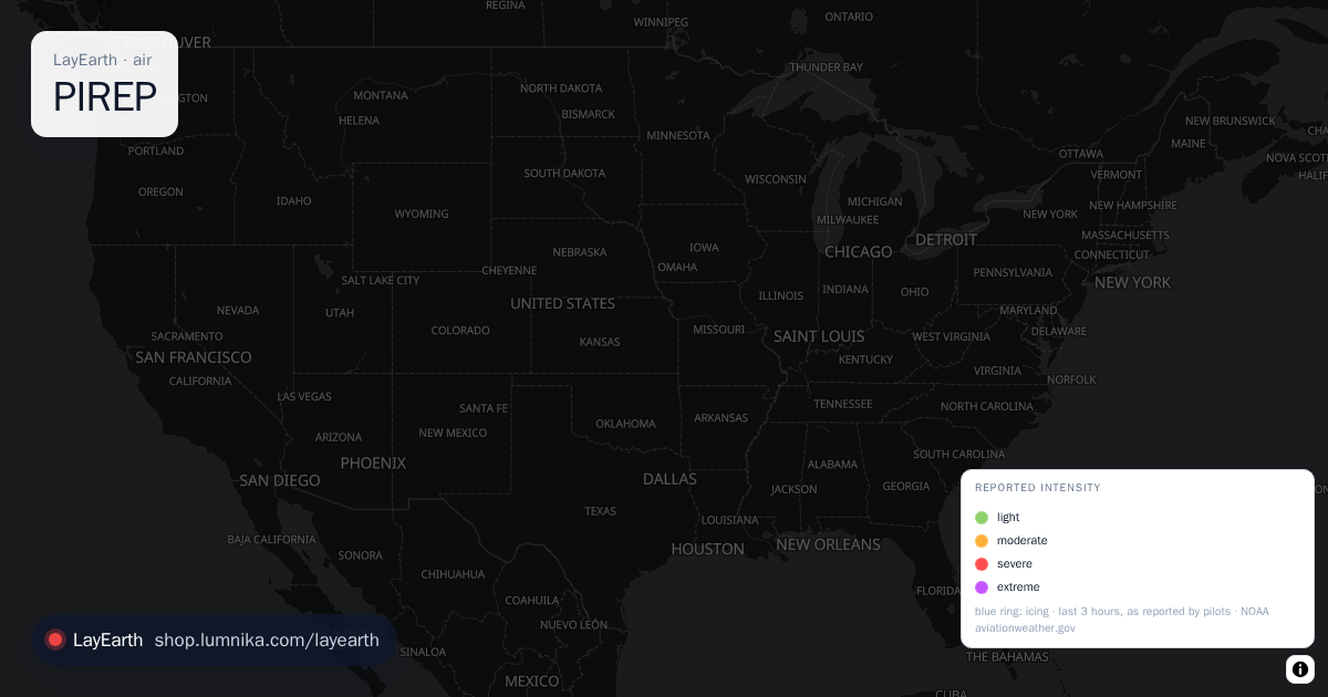
Turbulence and icing as pilots reported them from the cockpit in the last three hours, worldwide: each report where it was felt, with flight level, aircraft type, intensity and the original PIREP or AIREP text.
PIREP Pro
Turbulence and icing as pilots reported them from the cockpit in the last three hours, worldwide: each report where it was felt, with flight level, aircraft type, intensity and the original PIREP or AIREP text.
weather · the model over the view
-
 Wind
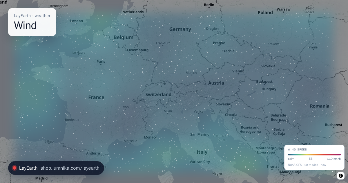
Surface wind as a streaming particle field, so fronts, convergence lines and storms show up as shapes.
Wind
Surface wind as a streaming particle field, so fronts, convergence lines and storms show up as shapes. -
 Temperature
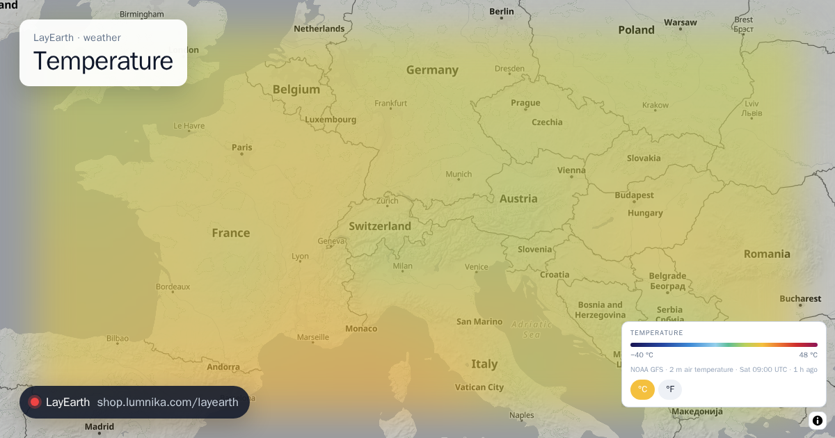
Air temperature 2 m above the ground, drawn as a continuous field over the view.
Temperature
Air temperature 2 m above the ground, drawn as a continuous field over the view. -
 Rain radar
Weather radar for the last two hours, played as a loop.
Rain radar
Weather radar for the last two hours, played as a loop. -
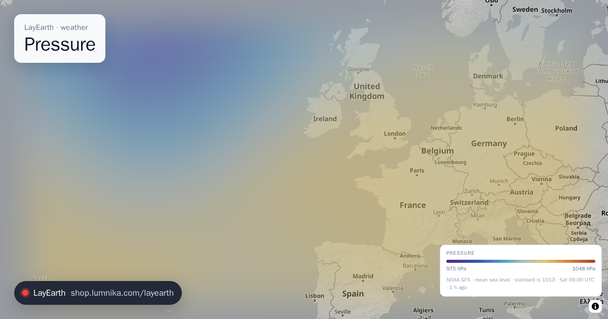 Pressure
Mean sea-level air pressure as a field, which shows where the highs and lows are.
Pressure
Mean sea-level air pressure as a field, which shows where the highs and lows are. -
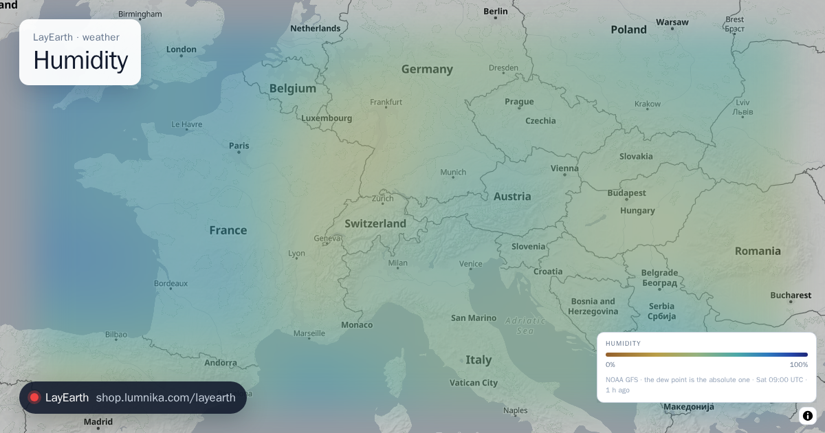 Humidity
Relative humidity 2 m above the ground as a field.
Humidity
Relative humidity 2 m above the ground as a field. -
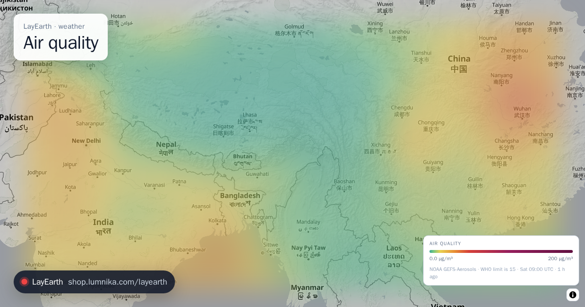 Air quality
Fine particulate matter (PM2.5) as a continuous field rather than a dot per monitoring station.
Air quality
Fine particulate matter (PM2.5) as a continuous field rather than a dot per monitoring station. -
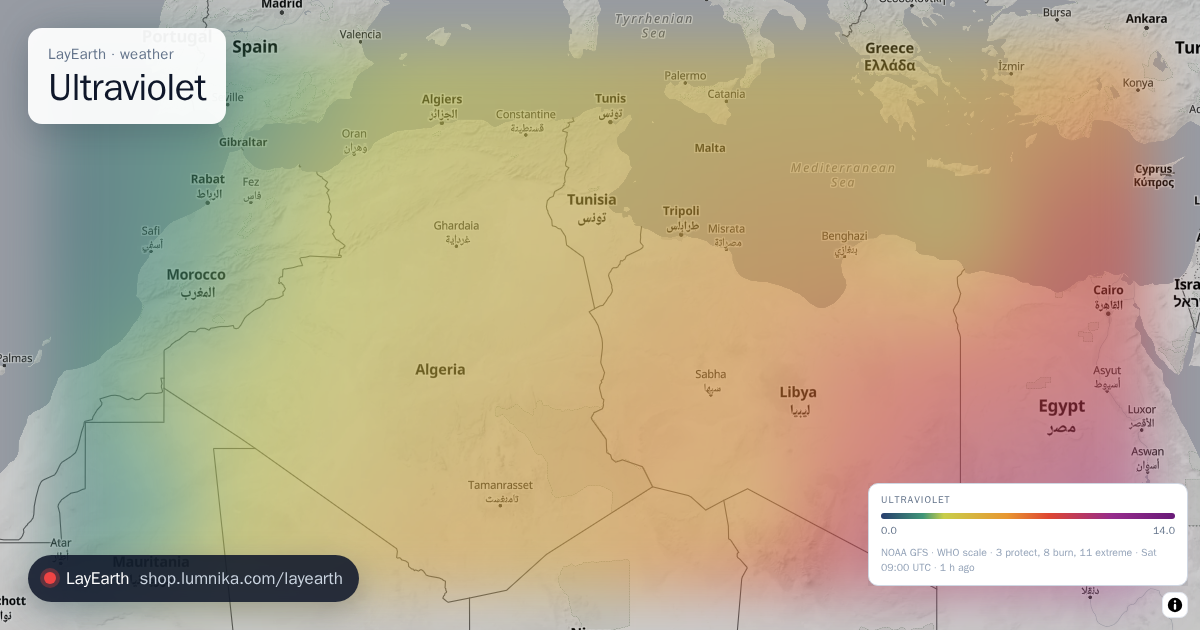 Ultraviolet
The ultraviolet index now, the measure that sunburn follows (temperature does not).
Ultraviolet
The ultraviolet index now, the measure that sunburn follows (temperature does not). -
 Solar power
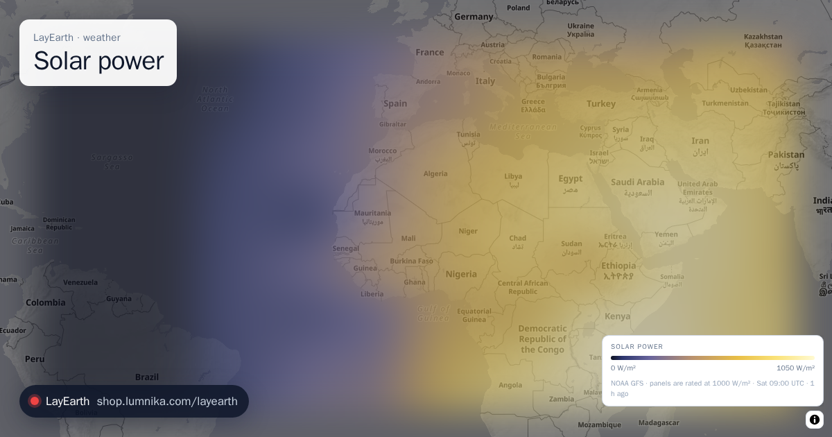
Shortwave solar radiation reaching the ground now, which is what a photovoltaic panel converts.
Solar power
Shortwave solar radiation reaching the ground now, which is what a photovoltaic panel converts. -
 Sea state
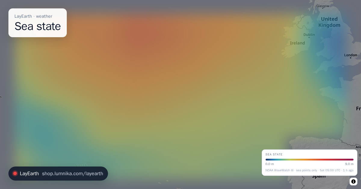
Significant wave height over the seas and oceans.
Sea state
Significant wave height over the seas and oceans. -
 River flow
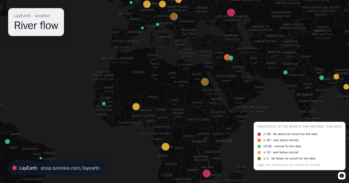
Is this river running unusually high or low for today's date, against its own record? GloFAS gives every river on Earth a daily discharge, but a number in cubic metres says nothing on its own: a river's normal June is not its normal December.
River flow
Is this river running unusually high or low for today's date, against its own record? GloFAS gives every river on Earth a daily discharge, but a number in cubic metres says nothing on its own: a river's normal June is not its normal December.
earth · one frame a day from orbit
-
 From orbit
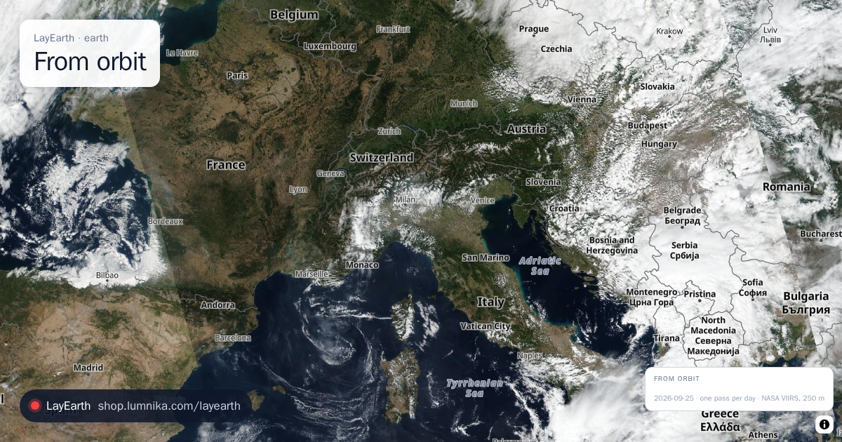
The whole planet as photographed by satellite on a single day: a daily corrected-reflectance mosaic, not a drawn basemap.
From orbit
The whole planet as photographed by satellite on a single day: a daily corrected-reflectance mosaic, not a drawn basemap. -
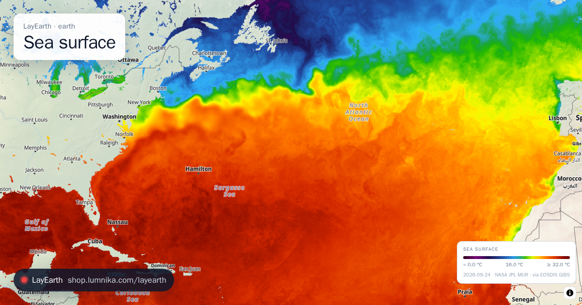 Sea surface
 temperature for any day in the archive, back to 2002.
Sea surface
Sea surface temperature for any day in the archive, back to 2002. -
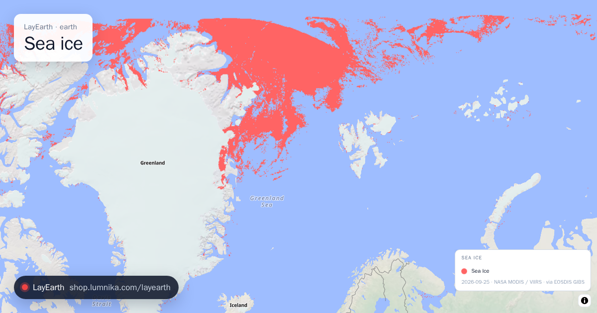 Sea ice
Where the ocean is frozen, as a daily ice / no-ice mask.
Sea ice
Where the ocean is frozen, as a daily ice / no-ice mask. -
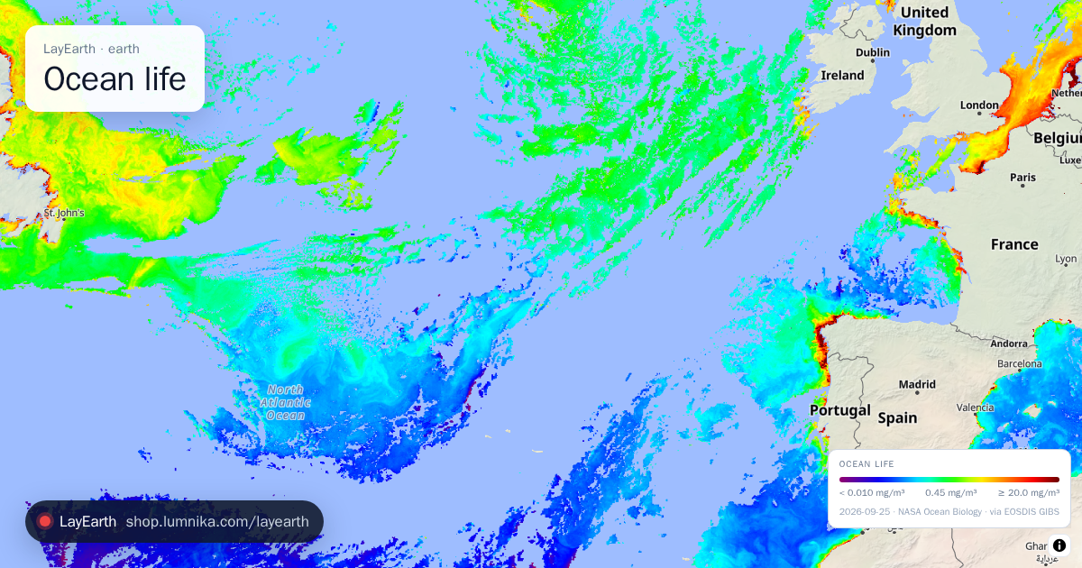 Ocean life
Chlorophyll-a in the surface ocean, the pigment of phytoplankton, which shows where marine life is concentrated.
Ocean life
Chlorophyll-a in the surface ocean, the pigment of phytoplankton, which shows where marine life is concentrated. -
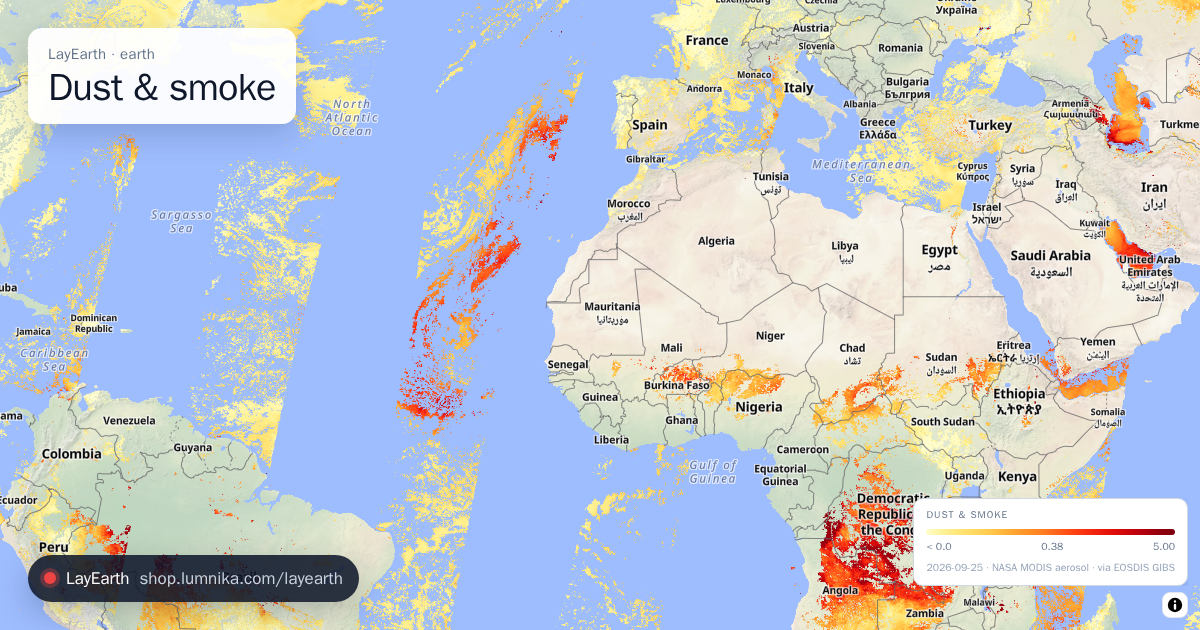 Dust & smoke
Aerosol optical depth: how much dust, smoke and haze is in the whole air column, measured from orbit.
Dust & smoke
Aerosol optical depth: how much dust, smoke and haze is in the whole air column, measured from orbit. -
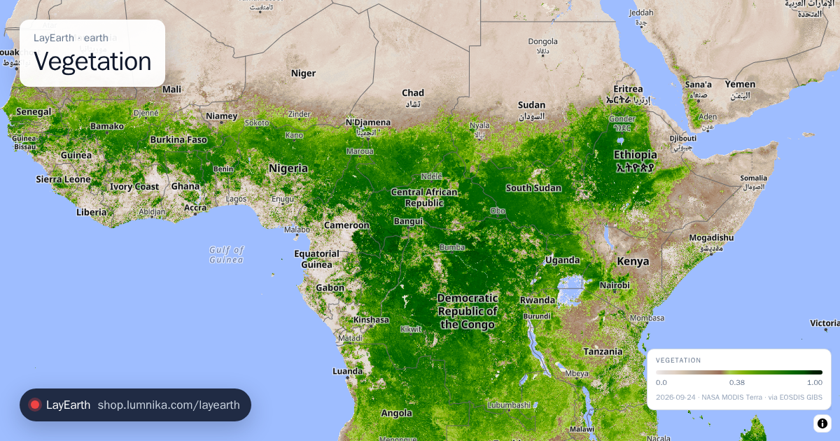 Vegetation
How much living vegetation is on the ground, from satellite vegetation indices.
Vegetation
How much living vegetation is on the ground, from satellite vegetation indices. -
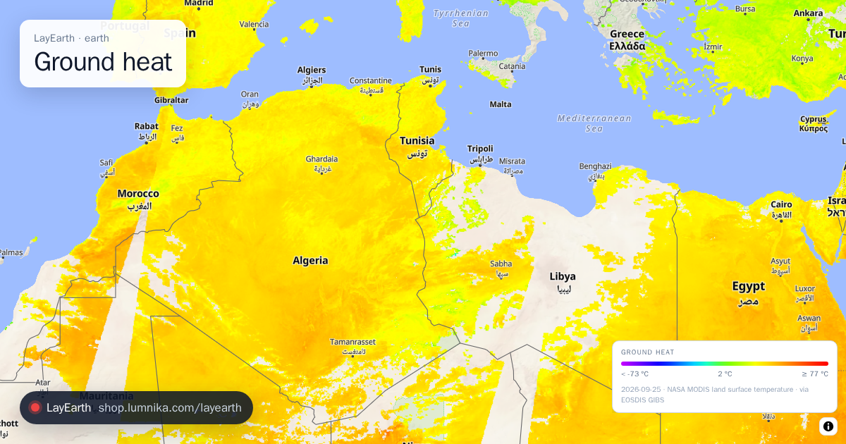 Ground heat
The temperature of the ground surface itself as an infrared radiometer measures it, which can differ from the air temperature by 20 °C or more.
Ground heat
The temperature of the ground surface itself as an infrared radiometer measures it, which can differ from the air temperature by 20 °C or more. -
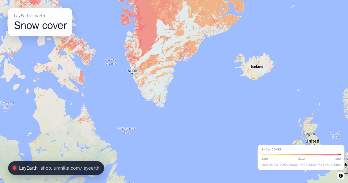 Snow cover
Where there is snow on the ground, mapped with the snow index (NDSI) that tells snow apart from cloud.
Snow cover
Where there is snow on the ground, mapped with the snow index (NDSI) that tells snow apart from cloud. -
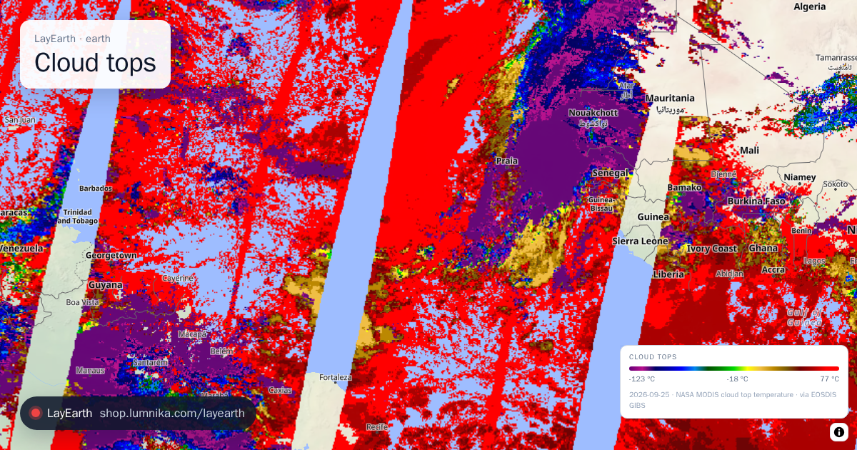 Cloud tops
The temperature at the top of clouds, which stands in for their height: the colder the top, the taller the cloud.
Cloud tops
The temperature at the top of clouds, which stands in for their height: the colder the top, the taller the cloud.
ground · the planet itself
-
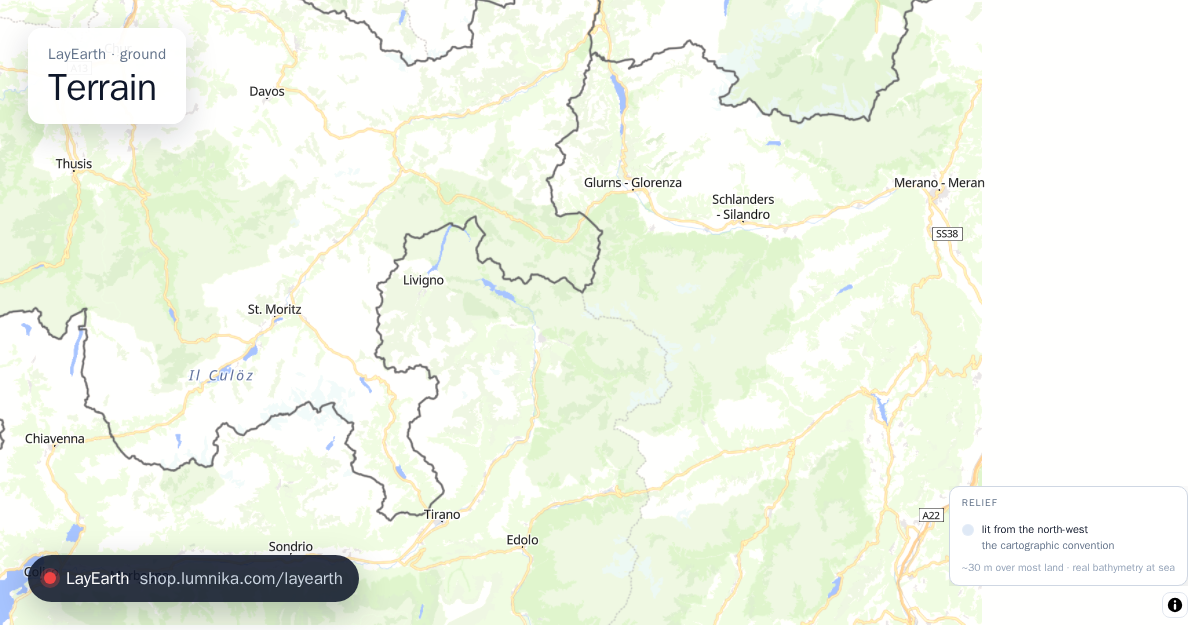 Terrain
Turns the map into a relief model using a height for every pixel.
Terrain
Turns the map into a relief model using a height for every pixel. -
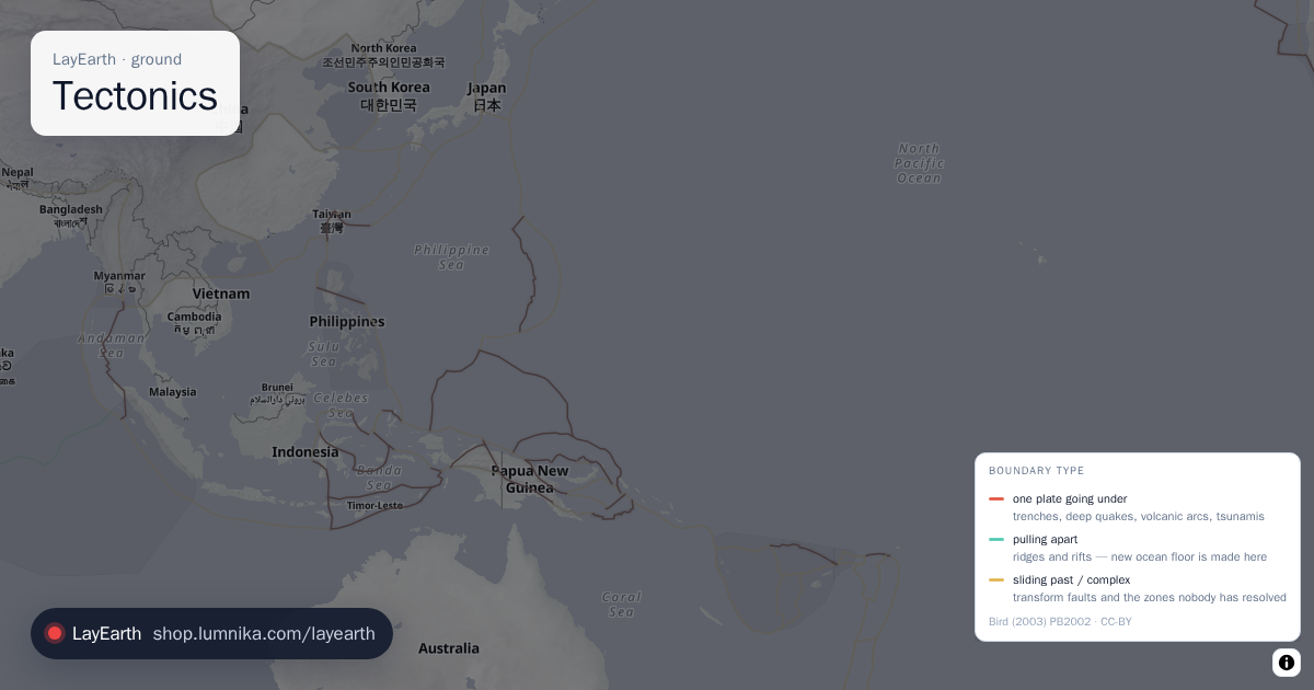 Tectonics
The boundaries of the tectonic plates, coloured by what each boundary does: plates going under one another, pulling apart, or sliding past.
Tectonics
The boundaries of the tectonic plates, coloured by what each boundary does: plates going under one another, pulling apart, or sliding past. -
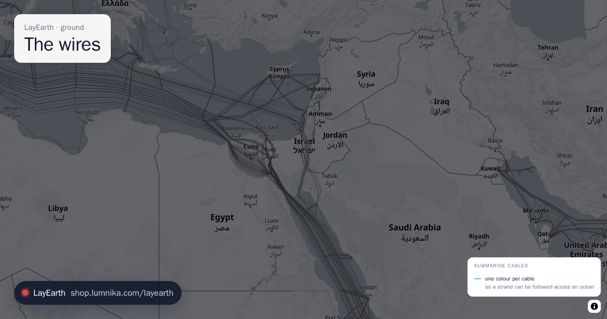 The wires
The submarine fibre-optic cables that carry almost all intercontinental internet traffic.
The wires
The submarine fibre-optic cables that carry almost all intercontinental internet traffic. -
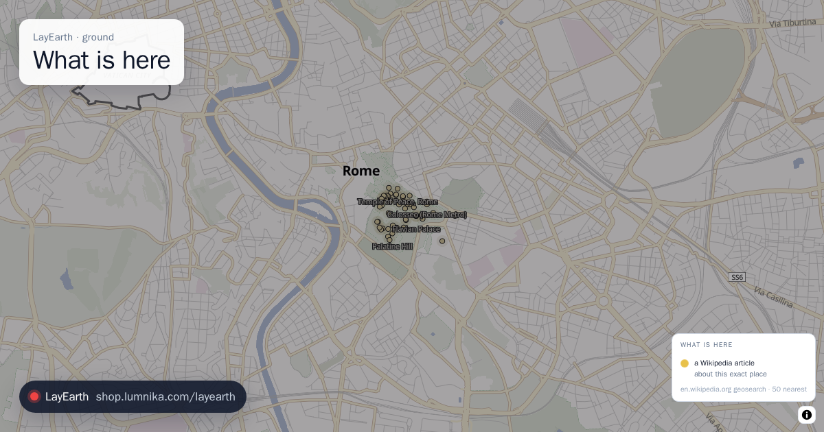 What is here
Wikipedia articles about the places in the current view: battles, buildings, wrecks, volcanoes.
What is here
Wikipedia articles about the places in the current view: battles, buildings, wrecks, volcanoes. -
 Glacial lake floods
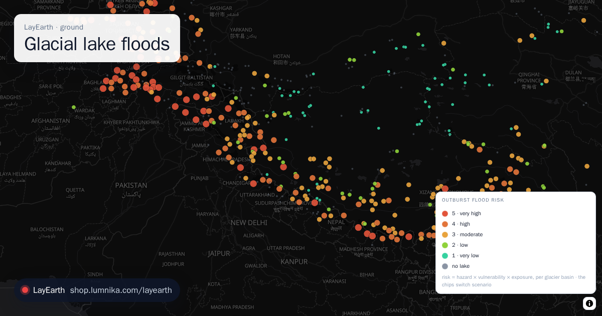
Every glacier basin in the world with a lake that can burst, and how bad the flood below it would be.
Glacial lake floods
Every glacier basin in the world with a lake that can burst, and how bad the flood below it would be. -
 Permafrost thaw
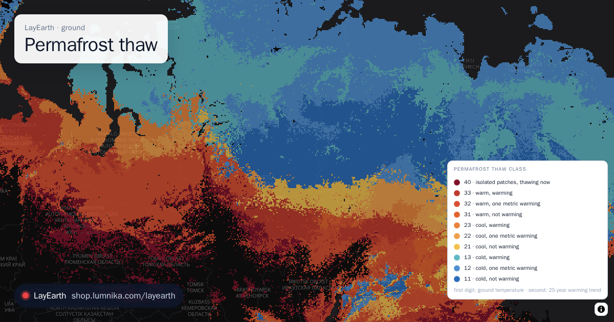
Every road and pipeline on Arctic permafrost, coloured by how fast the ground under it is warming.
Permafrost thaw
Every road and pipeline on Arctic permafrost, coloured by how fast the ground under it is warming.
industry · what we build and burn
-
 Factories
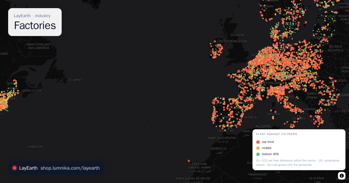
Every large industrial plant in two public registers, each set against its peers.
Factories
Every large industrial plant in two public registers, each set against its peers. -
 Methane leaks
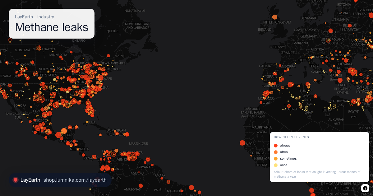
Every methane source that satellites and survey aircraft have caught venting, worldwide: 11,000-plus sites in the Carbon Mapper catalogue, from Permian oil wells to Turkmen pipelines, Chinese coal mines and city landfills.
Methane leaks
Every methane source that satellites and survey aircraft have caught venting, worldwide: 11,000-plus sites in the Carbon Mapper catalogue, from Permian oil wells to Turkmen pipelines, Chinese coal mines and city landfills.
life · what lives on it
-
 Bird flu
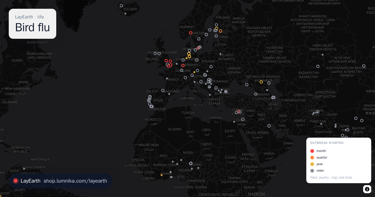
Every bird-flu outbreak that a national veterinary service has notified to WOAH, the world animal health organisation: poultry farms and wild-bird finds, H5N1 and its cousins, on every continent, newest first.
Bird flu
Every bird-flu outbreak that a national veterinary service has notified to WOAH, the world animal health organisation: poultry farms and wild-bird finds, H5N1 and its cousins, on every continent, newest first. -
 Lake algae
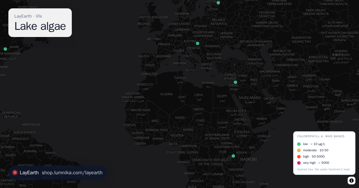
Is this lake growing a toxic algal bloom? Sentinel-2 reads the red-edge colour cyanobacteria give water, on every lake on Earth every few days.
Lake algae
Is this lake growing a toxic algal bloom? Sentinel-2 reads the red-edge colour cyanobacteria give water, on every lake on Earth every few days. -
 Wildlife near roads
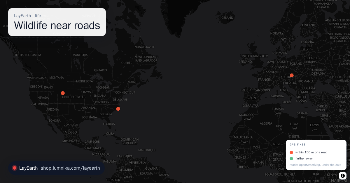
When is a wild animal population actually next to traffic? Movebank publishes the raw GPS collars of tracked wildlife; OpenStreetMap publishes the roads.
Wildlife near roads
When is a wild animal population actually next to traffic? Movebank publishes the raw GPS collars of tracked wildlife; OpenStreetMap publishes the roads.
 Day & night
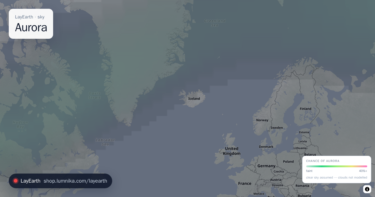 Aurora
 My data